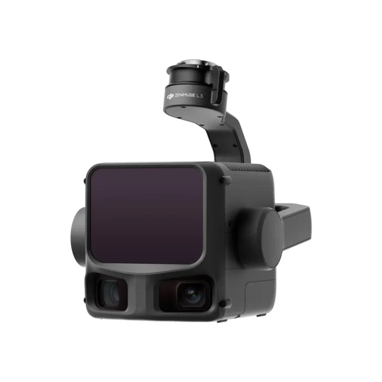


Описание
Enhanced Performance with Zenmuse L3
The Zenmuse L3 delivers enhanced LiDAR performance. When measured at the same distance, the laser spot produced by Zenmuse L3 is approximately five times smaller than that of the L2, and it supports up to 16 returns. This results in stronger penetration capability, greater range, and higher ranging accuracy.
The new dual 100MP RGB mapping camera system provides a horizontal field of view (FOV) of up to 107°, compared to 73.7° on the L2.
The positioning system (POS) accuracy has been improved to 0.02° in heading and 0.01° in roll and pitch.
Accuracy and Efficiency Improvements
-
Vertical accuracy with the Zenmuse L3 is:
-
better than 3 cm at an altitude of 120 m,
-
better than 5 cm at 300 m,
-
and better than 10 cm at 500 m.
-
The point cloud thickness produced by Zenmuse L3 is only half that of the Zenmuse L2, allowing for more detailed analysis and high-precision applications.
Thanks to its smaller laser spot and higher single-pulse energy, the Zenmuse L3 offers superior penetration capability. In terrain mapping and similar applications, it captures more ground points with greater completeness, significantly improving the accuracy and integrity of terrain data for precise surface modeling and reconstruction.
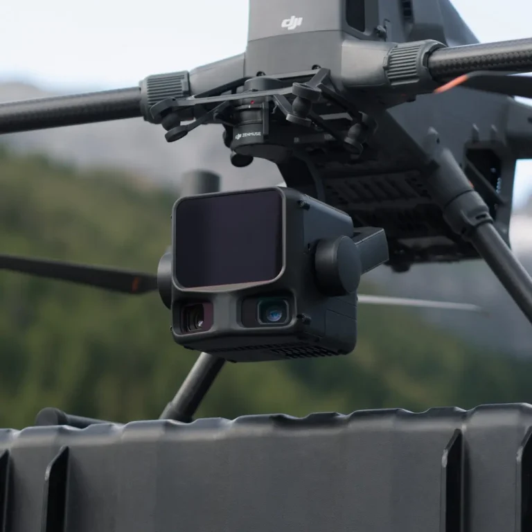
When mounted on the DJI Matrice 400, the Zenmuse L3 delivers exceptional efficiency. At a flight altitude of 300 m, a single flight can cover up to 10 km², enabling daily coverage of up to 100 km².